These photos cover a largely urban and suburban section of the Hitchin Outer Orbital Path as it travels along the Ippollitts Brook, then crosses the Stevenage Road to plunge through houses to the edge of town. From there, it follows a well-made path past fields to the village of Charlton.
Click on any thumbnail to see an enlarged version. You can then scroll through the pictures and their captions using the arrows that appear on the edges, or by using your mouse wheel.
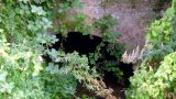
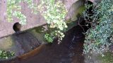
The Brook disappears under the railway embankment
You can ignore this path to Ashbrook
The HOOP heads into a quiet brookside path behind the houses
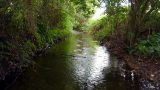
An improvised bridge over the Brook
Des res
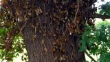
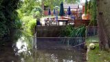
WalkWalkWalk.co.uk’s Andy has happy memories of playing here as a child
The secret path behind Brook View, Ninesprings Way and Oakfield Avenue
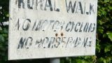
Polite notice
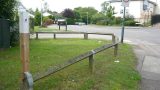
Railings at the end of the Brook walk
The old sign’s getting a bit battered now
The Brook emerges from under the Stevenage Road
Head up the road and prepare to cross after the first houses
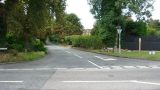
Turn off the Stevenage Road onto Blackhorse Lane
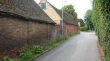
The road lacks pavement in places but is fairly quiet
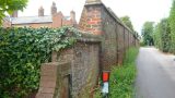
Old brick and not-so-old brick meet
Blackhorse Lane ends with a fine old farm building
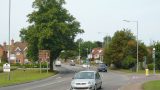
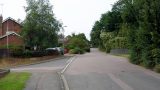
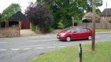
The path crosses the B656 London Road
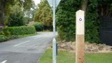
Waymarking the route into Newlands Lane
Wilderness by the side of the road – not the route itself
Cross the road to Gosmore and head down Brick Kiln Lane
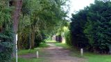
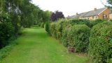
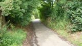
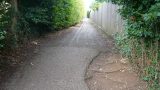
An easy well-maintained path
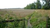
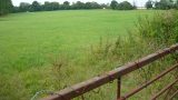
Meadows south west of town
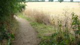
Not the route: this path goes to Maydencroft Manor
Another alternate path – this one into Priory Way
Summer blooms
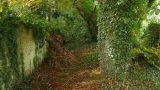
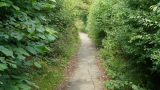
Rampant greenery
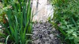
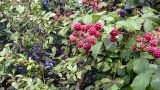
Sloes and blackberries grow wild
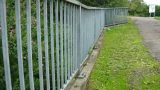
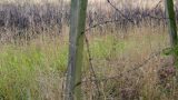
Barbed wire fence
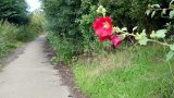
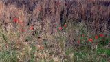
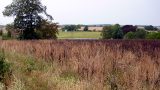
Red poppies and blackened grasses make an artistic contrast
The view west, as Charlton grows nearer
The beer garden and the Hiz at the Windmill in Charlton