Here’s a selection of pictures we took on the St Michael’s way. Click on each thumbnail to see a slightly larger version.
The journey starts here at Lelant station
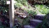
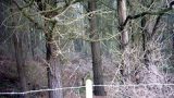
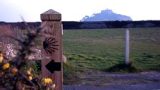
This path has its own signboards and waymarks, not always deployed to the best effect
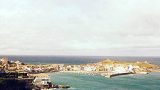
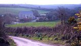
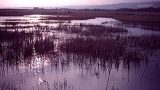
Beautifully positioned west of the Hayle Estuary.
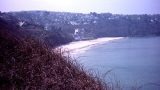
The tide’s in – and it looks like a painting from a swish St Ives gallery
The path skims Carbis Bay before turning inland
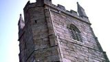
The top of St Nicholas’ Chapel in St Ives is just visible here
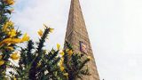
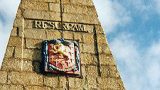
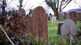
This was intended for the grave of John Knill – but he ended up buried in London instead
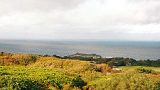
You can see the very top of St Michael’s Mount from here on a clear day
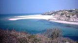
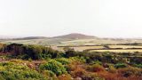
From higher ground there is a magnificent view back to St Ives and The Island
Zennor and Land’s End in this direction
Knill made provision for a festival at the monument every five years, still celebrated
Turning inland after Knill’s Steeple
The waymark looks clear – but we lost the path shortly after
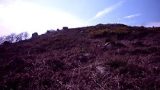
If you look very closely, there’s a standing stone here…
Thrown here by a playful giant
We turn to look back towards the north coast
Luckily the path skirts the edge. We’ll return to climb it some day.
We were waiting for Orc raiders to descend on us.
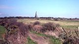
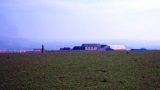
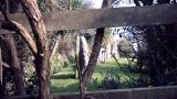
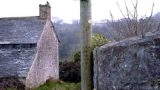
This historic chapel is now a private house beside the footpath
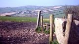
A row of standing stones marks the route to a stile
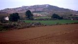
Trencrom still towers over us
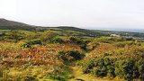
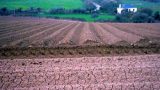
We’re moving off the moorland and onto fertile, recently-ploughed farmland instead
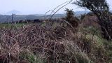
It’s actually quite intimidating – and a tough walking surface, like wet sand
Our first misty glimpse of St Michael’s Mount on the horizon
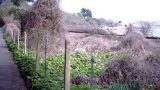
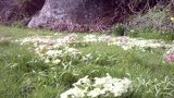
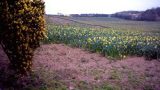
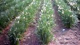
The path led us past fields and fields of daffodils and narcissi
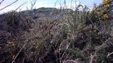
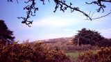
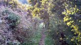
This steep downhill climb took us underneath a veritable forest of ancient gorse bushes
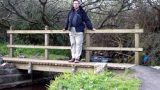
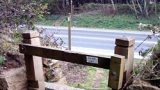
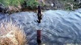
Strange how bridges over tiny streams always provoke thoughts of steep climbs
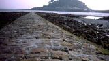
Ignore the sheep, it’s the view of St Michael’s Mount you want…